mercredi 29 février 2012

Southern Laos - Sin Phan Don


A la sortie de Pakse, nous visitons la ville de Champasak, ancienne capitale du Laos abritant le temple « Wat Phu » d’architecture khmère et de religion hindouiste. C’est un des sites archéologiques les plus important du Laos qui était  relié autrefois par une ancienne voie au temple d’Angkor, au Cambodge. Si le temple est en piteux état, la visite vaut surtout le détour pour la vue sur la vallée qui s’étend jusqu’au Mékong.

After so many beautiful landscapes in Laos, we decided to stop at Champasak for some cultural experience. The town of Champasak is the ex-capital of a Lao kingdom, now famous for its ancient temple, one of the most important archaeological sites in Laos dating from the 6th century. Locals claim it could be the blueprint for the famous Angkor Wat in Cambodia.


Nous terminons notre visite du Laos par la région de Si Phan Don, plus connue sous le nom de « 4000 îles ». A l’extrême sud du pays, le Mékong y découpe des centaines d’îles de toutes tailles. Les plus grandes d’entre elles, immergées toute l’année, hébergent des petits villages de pêcheurs. Au bord des falaises, là ou le courant est le plus fort, ceux-ci plongent leur filet dans les remouds pour en sortir de tout petit poissons qu’ils font ensuite sécher par milliers, étalés sur les rochers.

Our last stop in Laos was the islands of Si Phan Don, better known as the “Four thousand islands”. As the name suggests, these are lots of islands of all sizes and shapes located in the Mekong, at the most southern point of Laos. A small fraction of these islands has been made accessible to tourists, offering many chilled out guesthouses with hammocks and sun set cafes.

In addition to the cultivation of rice, fishing is another major activity in the local people’s life. You can see the fishermen (and women) standing on the border of the cliffs, where the current is the strongest, throwing their nets into the water. They lay out the tiny fish they catch on the rocks along the water to dry them in the heat of the sun.


 A l’heure de l’apéro, il y a toujours la bonne vieille pétanque mais aussi le « kataw », pour les plus sportifs… Il s’agit d’un dérivé du volley, se jouant avec une petite balle en rotin que l’on peut renvoyer avec n’importe quelle partie du corps sauf les bras… C’est rapide, technique et c’est un des sports les plus pratiqués au Laos.

Pour admirer le coucher du soleil sur le fleuve, on sirote une dernière Laobeer couchés dans le hamac pendant que les buffles prennent leur bain… Nous quittons le Laos et passons la frontière avec le Cambodge avec environ 2000 kilomètres et 15 000 mètres de dénivelés au compteur… mais surtout des centaines de « SABAI DEE » résonnant encore dans la tête.  
 
Like in most of Laos, playing « boule » and « kataw » are the most popular social activities in Si Phan Don. « Kataw »can be compared to our volley ball, except that you can hit the (rattan) ball with any part of you body –except with the arms. It’s a very fast game requiring a lot of skill. It’s a fun game to watch.

Our island life has been very relaxing, we spent many hours in the hammock reading or watching the sun set with a nice chilled Lao beer – just what we needed after cycling about 2000 km in a rather “hilly” region. There are many things we are going to miss leaving Laos behind and I am sure the “Sabai Dee” will stay in our heads for a while. But we are also looking forward to our new adventures in a new country...bring on Cambodia!


vendredi 17 février 2012

Southern Laos - Bolaven Plateau

Depuis Pakse, nous nous lançons à la découverte du plateau Bolaven, réputé pour son climat propice aux plantations de cafés et pour ses nombreuses cascades. Le long de la route, s’élevant progressivement jusqu'à 1300 mètres d’altitude, on fait sécher les grains de cafés sur de grandes bâches et on prépare les jeunes plants.

After our good experience with the Lao bus system, we decided to “fast track” the 400km from Thakek to Pakse which were once again many dried up rice fields. Pakse is located at the base of the Bolaven plateau, an area at 1300m altitude known for its cooler climate, coffee plantations and many waterfalls.


 A Paksong, nous faisons la rencontre de « Mister Coffee », un hollandais amoureux du café, installé là avec son épouse lao sienne depuis 4 ans. Il nous fait découvrir les plantations aux alentours avec son merveilleux accent hollandais verrry typique ! Il nous montre ensuite comment torréfier à la main les grains de café et nous fait déguster quelques délicieuses tasses. Ce café est, parait-il, mondialement connu pour son excellente qualité.

After a long and hot climb, we arrived at Paksong where we met “Mr. Coffee”, a Dutch guy who was in love with coffee and run a small café. (Smallest menu I have seen: coffee, tea or hot chocolate). We decided to join his daily tour through the local coffee plantation belonging to the family of his Lao wife, which he made a pleasant experience with his very strong Dutch accent and his bad jokes (he admitted that they were bad himself!) Back at his café he taught us the process of coffee roasting and let us drink as much coffee as we wanted. Best coffee we had in Laos!


Après avoir profité de splendides cascades sous le soleil, la route tout comme le temps commencent à se dégrader lorsque nous repartons plus à l’est. Avec la pluie, la piste de terre se transforme en boue qui colle aux pneus et bloque les vélos. Nous devons régulièrement l’enlever pour pouvoir continuer … sous les rires moqueurs de quelques singes perchés dans les arbres. Nous ferons cet après-midi la une vingtaine de kilomètres, bien loin des 60 prévus pour rallier la prochaine ville. Au village de Ban Meun Noua, nous demandons alors aux premiers villageois si nous pouvons rester pour la nuit. Avec leur accord, nous plantons la tente dans l’obscurité à proximité du puits. Une douche pour se décrasser sous une infinité d’étoiles, quel luxe!

Once again we had the difficult choice between a direct route on an asphalt road or a longer scenic route on dirt roads. As previously, we opted for the second option.

Drinking one cup of coffee after another at Mr. Coffee’s café, it was already in early afternoon when we left Paksong. Except for a few patches in construction, the dirt road was in a fairly good condition and we advanced well. Nevertheless, it was already dark when we arrived at our first destination, a small homestay with a lovely family, so that we only realized the following morning that we had arrived in a small paradise: a massive lush garden with several beautiful waterfalls in walking distance. After the obligatory trip to a waterfall and a swim in the river, we hit the road in the early afternoon, a couple of hours ride planned to cover 50km to the following destination. How little did we know...

The dirt road soon turned into a large construction site with large patches of sand and a lot of dust. The difficult road conditions were made even more strenuous when the weather turned against us. We were lucky though and found a shelter when the rain started to really pour down. After about two hours we got back on the road, just to realize that the rain had turned the road into a large battlefield: the ground had turned into mud which stuck to our wheels blocking the bike. We did not have much choice in the matter though, so we advanced very slowly and continuously had to stop to take off the mud. When it started to get dark we had only done about 25kms. In the first village we passed we asked the locals for permission to spend the night and so we set up our tent near a water pump. Another night of instant noodles under a clear sky full of stars!


Le lendemain, une bonne partie du village est rassemblée autour des vélos, puis de la tente lorsque nous faisons visiter son intérieur… Nous nous amusons à leur mimer l’utilisation de différents objets de camping sous leurs regards pleins de curiosité. Nous déjeunons avec un peu de riz offert par une famille puis continuons la route dans de meilleures conditions jusque Tat lo, connu pour ses cascades .Nous nous émerveillerons surtout devant le bain journalier des 3 éléphants du village.

The following morning we had a lot of visitors: now in the daylight our tent was clearly visible and the locals were very curious about all the “strange items” that we had with us. With our hands and feet and a lot of laughter we showed them the different uses. One of the families was so kind to offer us some rice which made a good breakfast with a mango and soy milk. Soon after this we were back on an asphalt road cycling to Tat Lo, a well known place for its waterfalls. In Tat Lo we particularly enjoyed watching the feeding and daily bath of some local elephants.


vendredi 10 février 2012

Central Laos - Thakek


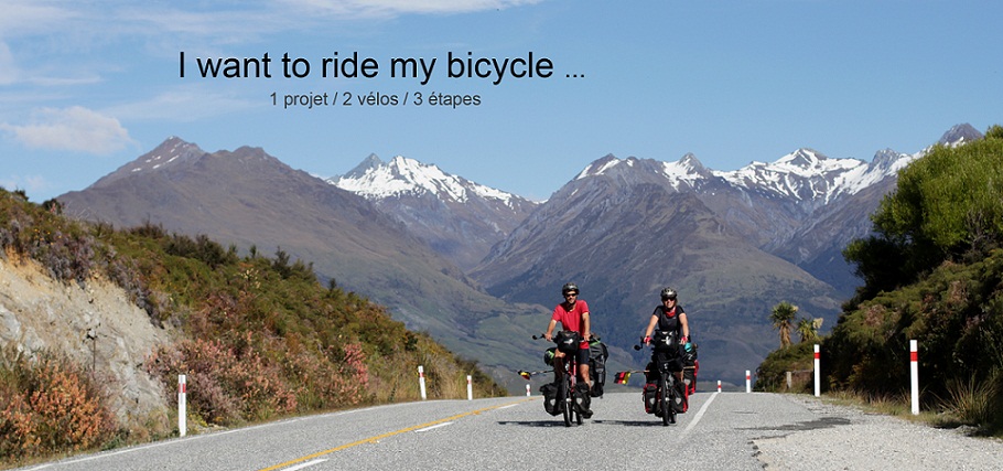
A la sortie de Vientiane nous choisissions pour la première fois de poursuivre en bus sur une portion d’environ 220 km. La route principale est, suivant l’avis de beaucoup, très monotone et plus fréquentée qu’au nord. En deux secondes et demie, nos vélos sont hissés sur le toit du bus et sanglés à coté de quelques scooters. C’est « facile, rapide et bon marché »… et mille fois plus simple et plus sûr que de prendre le train avec notre amie la SCNB, nous en avons fait l’expérience… Le bus a cependant ses désavantages, la durée du trajet pouvant varier de plusieurs heures suivant les marchandises, motos, et autres animaux a charger et décharger… Le paysage qui défile à travers la vitre confirme notre choix : pas grand-chose à voir !…

Nous sommes bien contents de remonter sur nos selles, peu avant Thakek, pour effectuer une boucle de près de 400 kilomètres. Nous quittons à peine la route principale que nous nous tombons brusquement nez a nez avec de grands massifs montagneux.et retrouvons la joie des ascensions interminables…

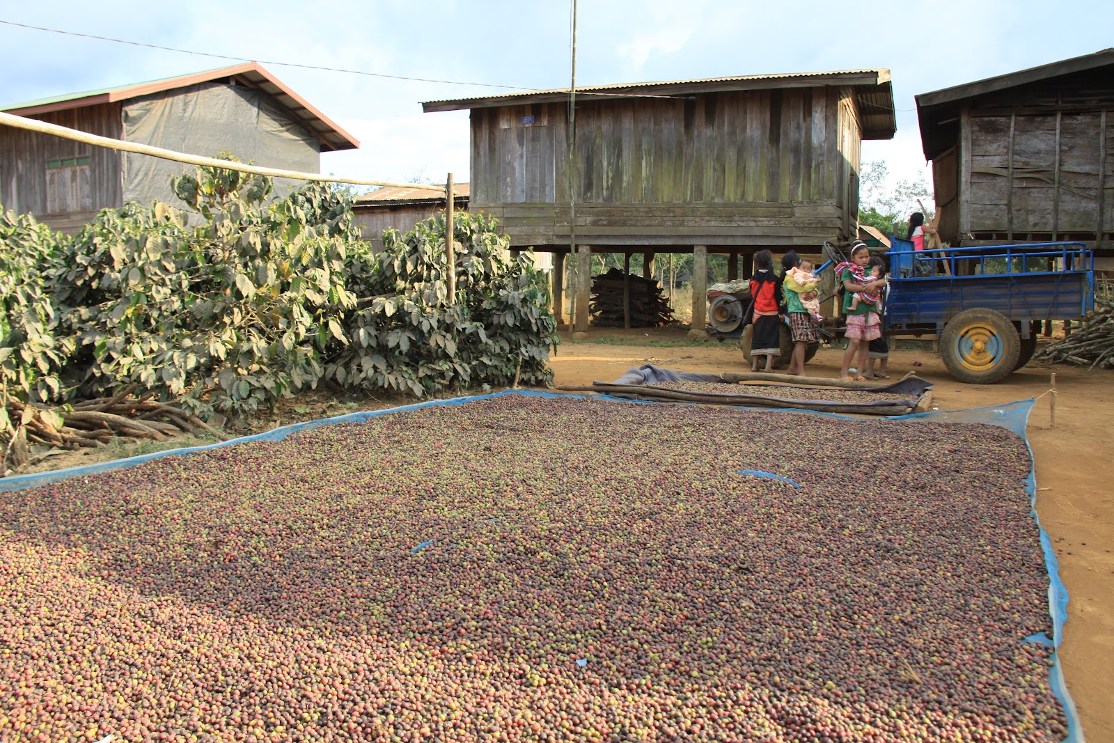
During the dry season in Laos, a large part of Southern Laos where the rice fields are cultivated is dried up, leaving large plains of brown grass and hard soil. As you can imagine, cycling a few hundred kilometers through this area on a busy road which links the north and the south, is only of limited interest. So we decided that we could spend our time better discovering other areas and left Vientiane on a bus. It was the first time we put our bicycles on a bus and we were surprised how easy everything was – much simpler than what we have experienced taking the train in Belgium in the past! With a little bit of extra cash and just one quick movement the bikes were on the roof of the bus and we were ready to leave. The only downside of taking a bus is that you never know how long the journey takes, it all depends on how many bags of rice are being picked up on the way or how many more scooters get strapped on the roof of the bus…

The 220km of scenery we saw from the bus confirmed our choice of transport, there was not a great deal to see. So we were even more surprised when we got back on our bikes and turned of the main road to be surrounded by beautiful limestone karsts. Climbing up a very steep hill we got to some great viewpoint over the valley.


A Ban Nahin, nous laissons nos sacoches pour poursuivre un peu plus léger vers Kong Lo et son impressionnante grotte. La route qui nous y emmène est totalement plate mais se faufile entre d’énormes excroissances rocheuses parsemées ici et là. La grotte est nichée au fond de la vallée, seuls quelques pêcheurs nous y attendent pour traverser les 7 kilomètres de rivière souterraine. A bord d’une pirogue en bois, nous nous engouffrons dans le noir intense de ce labyrinthe enfoui dans la montagne. Le guide s’oriente à l’aide de sa seule lampe frontale et nous fait voyager d’une salle à l’autre, leurs parois s’élevant parfois à une centaine de mètres de haut.

Cette nuit là, au village de Kong Lo, nous ne pouvons fermer l’œil de la nuit, la musique locale provenant d’une habitation s’arrêtant vers 6h du matin, au chant des premiers coqs. Nous apprendrons le lendemain qu’il s’agissait d’une « fête » funéraire pour un homme du village…

In Ban Nahin we left the majority of our luggage and cycled much lighter to Ban Konglo, where the famous 7.5km long cave can be found. Except for the strong headwinds the cycling was easy and pleasant, the route was completely flat and we passed more limestone rocks sticking out of the ground. The visit of the cave was very impressive; we crossed the entire length of it on a small boat with two guides. As expected it is pitch black in the interior, just a few installed lights highlight the most spectacular stalagmites and other features. Although the motor of our boat died on us a few times in the middle of the cave, we didn’t have to swim back in the dark and we managed to get out of there dry and safe!

Although we were in the middle of nowhere that night, we didn’t mange to get any sleep at all. The extremely loud music of a neighboring house stopped at about 6 in the morning, just in time for the cocks announce a new day with its singing. Unlike our suspicion of a marriage, it turned out that the village had gathered for a “funeral party” for a man of the village who had recently passed away.


Au départ de Lak Sao, nous sommes obligés de faire un détour de plusieurs kilomètres, une bombe ayant été retrouvée au beau milieu du chemin quelques jours auparavant. Cette région du Laos est en réalité une des zones les plus minées au monde. Pendant la guerre du Vietnam, les américains ont bombardé la frontière est du Laos, plus connue sous le nom de « piste Ho Chi Minh », à défaut d’un bombardement toutes les 8 minutes pendant 9 années consécutives ! Environ un tiers de ces 240 millions de mines n’ont pas  explosé pendant cette guerre. Mieux vaut ne pas s’égarer des chemins principaux…

La piste rocailleuse et très poussiéreuse nous amène au cœur d’un étrange décor d’arbres morts plantés dans l’eau. C’est surprenant et désolant à la fois. Nous pénétrons en réalité un immense lac artificiel créé pour le plus grand barrage hydroélectrique d’Asie du Sud-est, le « Nam Theun 2 ». Ce projet a suscité de nombreuses polémiques, les retombées économiques pour le Laos étant loin d’être assurées. Il a en tout cas fait fuir des milliers de personnes et mit en péril l’écosystème de toute une région lors de l’inondation de la vallée.

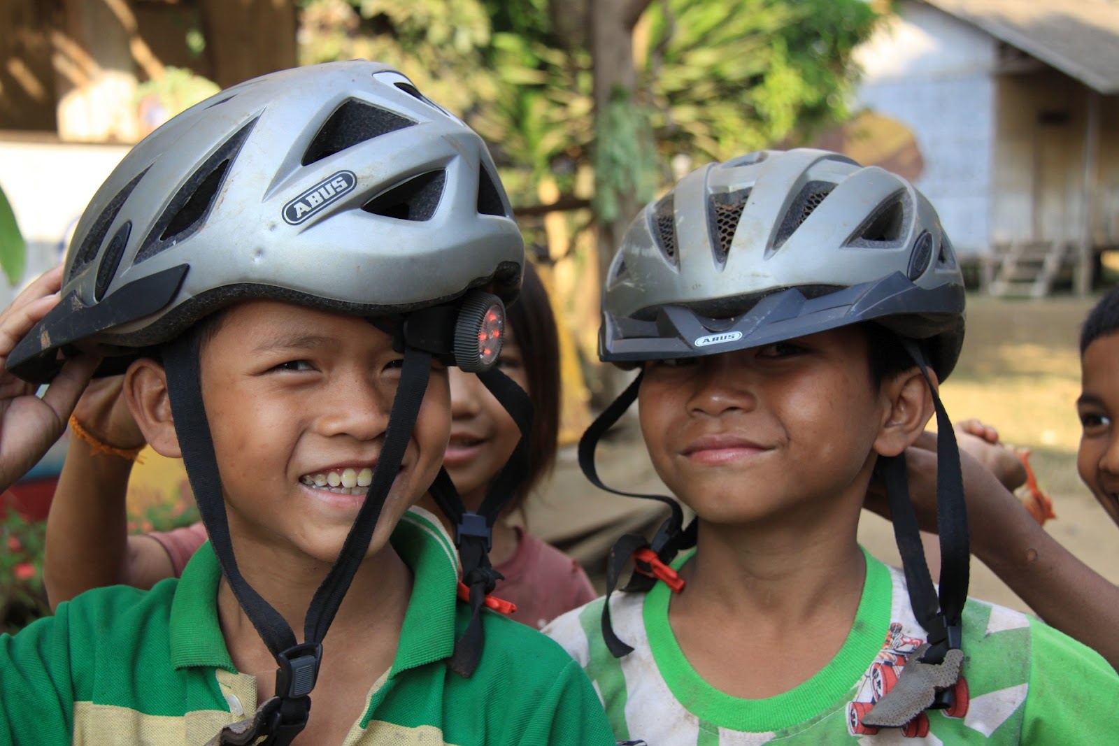
Nous posons nos sacoches au bord du lac juste avant le coucher du soleil. Nous y rencontrons une bande d’enfants complètement déjantés… Pendant près d’une demi-heure, ils s’amusent à danser, jouer, courir comme des fous dans tous les sens sous nos yeux amusés… Etonnant de voir comment ils gardent le moral, malgré leur environnement dévasté !


After contemplating on what to do next for a while (difficult road conditions with beautiful scenery versus easy option of another bus), we finally decided to take on some “Dirt roads” and do the “loop” as it is called amongst backpackers. This involved going up north to Lak Sao before heading south again through the Nam Theun National Park to Thakek.

Before we actually hit the Dirt road we were already confronted with the first problem in Lak Sao: a bomb remaining from the Secret war in Laos had been found on the middle of the road. Although we had already read about the so called secret war in Laos (something many people are not aware of), it was the first time we actually have been confronted with the reality of it. During the Vietnam war the Americans have bombed the east of Laos bordering the Vietnam, better known as the Ho Chi Minh trail, every 8 minutes over the duration of 9 years. It is estimated that about one third of these 240 million mines did not explode during the war. Although clearance is taking place (partly financed by the German government) It will take many years before Laos will be cleared from all these mines. As it is not uncommon that mines are found today during road works or that accidents occur, we decided it was best not to adventure of the main roads…

After a detour due to the road blockade, we finally got on the right road, if that is what you can call the bumpy dirt path we took. The first day on this road was very difficult, the rocks and remaining parts of asphalt slowed us down. On the second day the road followed a huge artificial lake which has been created for a hydroelectric power station. Not only the road was much better but we also had some stunning views over the lake: the flooding of the valley has resulted in a bizarre landscape of dead trees in water. This scenery is impressive and spooky at the same time! Whether the undertaking of such a project is politically or morally right is another story I will not go into…